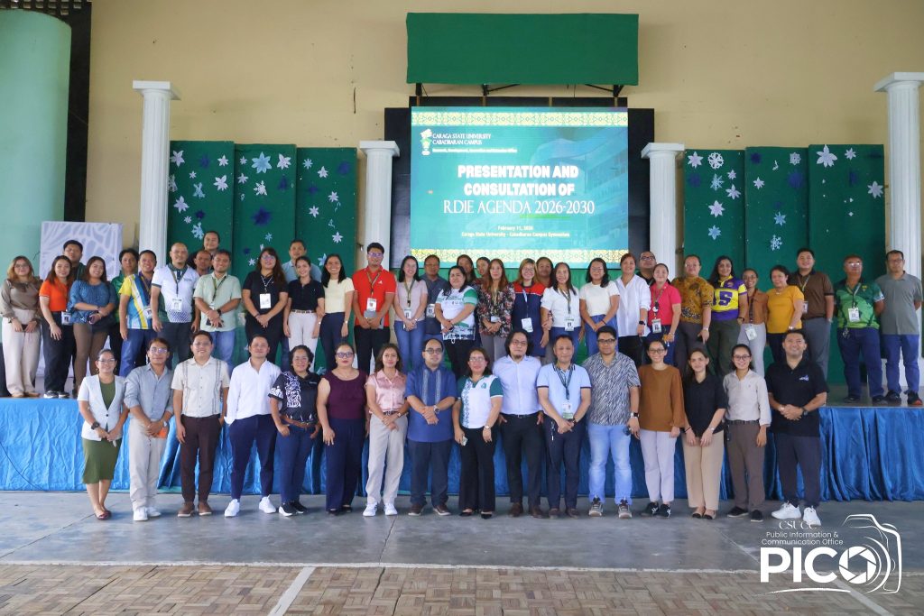
OVPRDIE Holds CSU’s RDIE Agenda 2026–2030 Consultation Meeting at CSUCC
The Office of the Vice President for Research, Development, Innovation, and Extension (VPRDIE) conducted the…
The Office of the Vice President for Research, Development, Innovation, and Extension (VPRDIE) conducted the RDIE Agenda presentation and consultation meeting at the Caraga State University–Cabadbaran Campus (CSU CC) on February 11, 2026, at the CSUCC Gymnasium. The activity brought together key university stakeholders to discuss and align on the University’s strategic directions in research,…
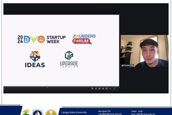
CSU Technology Business Incubator (TBI) joined the Startup Blink Orientation Online Session on February 12, 2026, hosted by the DOST Innovation Unit Caraga and moderated by Ms. Rhea Bete, PTA IV of DOST Caraga. Mr. Richard Day of IDEAS Davao shared how StartupBlink’s Global Startup Ecosystem Index helps regions benchmark growth, attract support, and strengthen…
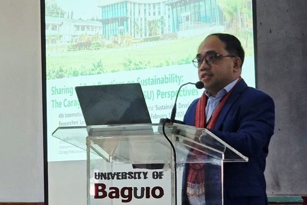
Baguio City — Caraga State University (CSU) took part as a co-host of the 4th International Research Colloquium held at the University of Baguio, a major academic forum centered on advancing the Sustainable Development Goals (SDGs) through research and innovation The event gathered university leaders, scholars, and practitioners to exchange insights, showcase good practices, and strengthen collaboration for sustainability-driven development….
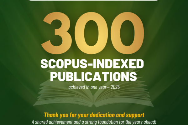
Caraga State University (CSU) has reached a landmark achievement in its research journey, recording 300 Scopus-indexed publications in a single year (2025)—the first time in the University’s history this milestone has been attained. The feat underscores CSU’s growing research excellence and reflects the payoff of deliberate strategies, focused management, and sustained investments in research, development,…
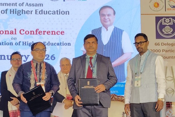
Caraga State University (CSU) was represented on the international stage at theInternational Conference on Internationalization of Higher Education, held in lateJanuary in Guwahati, Assam, India, through the participation of Dr. Jeffrey Dellosa, VicePresident for Research, Innovation, and Extension. The event was organized with thesupport of the Commission on Higher Education of the Government of Assam,…
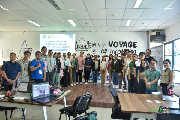
Designed to directly support instruction in Technopreneurship and Technology and Enterprise Management (TEM), the bootcamp equipped Techno and TEM faculty members with practical frameworks and tools they can immediately integrate into their classes. Sessions focused on guiding faculty in teaching students how to identify real-world problems, validate ideas, analyze markets, and develop sustainable business models…
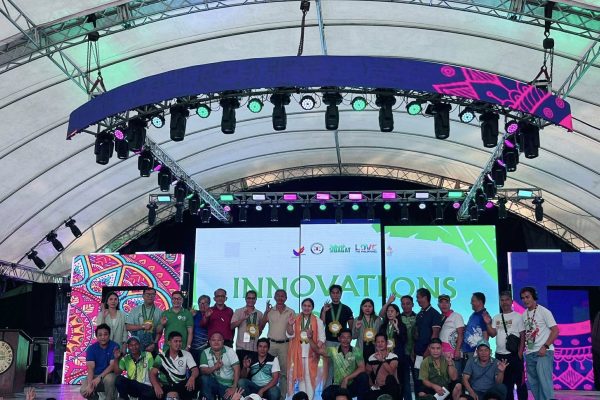
Caraga State University (CSU) was invited to take part in the Innovations Forum held on February 2, 2026, a significant activity under the celebration of the 46th Araw ng Sibagat and 24th Bagat Festival, themed “Bagat Festival 2026: Reimagining Encounters.” Representing the CSU President, Dr. Rolyn Daguil, was Prof. Kenneth L. Ciudad, the director of…
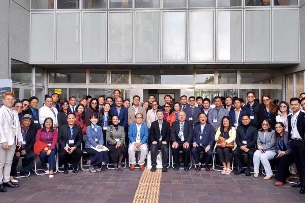
Caraga State University (CSU) proudly represented the Philippines at an Engineering and Sciences Conference held in Japan this October. This year, CSU achieved a record-breaking participation with 40 oral presentations and 69 poster papers from 59 faculty research presenters, highlighting its growing international research footprint and commitment to advancing global scientific collaboration. Strengthening Research under…
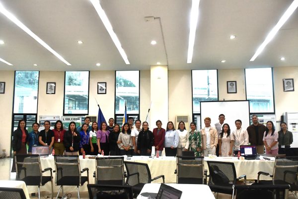
November 3, 2025 – The Caraga State University Extension Services Office (ESO) conducted the Presentation of Extension Programs and Projects for the Year 2026, highlighting the proposed community engagement initiatives of faculty extensionists across various colleges. The activity opened with a message from Prof. Joanne A. Langres, ESO Director, who underscored the importance of aligning…
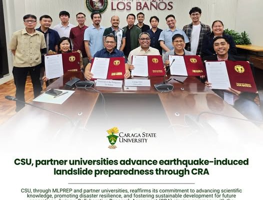
Caraga State University, through the Machine Learning of Physics-based Earthquake-induced Landslide Parameters for Efficient Prediction and Warning in the Philippines (ML-PREP) Project, signed a Collaborative Research Agreement (CRA) with the University of the Philippines Los Baños (UPLB), Jose Rizal Memorial State University (JRMSU), and the Philippine Normal University (PNU). 𝗥𝗲𝗮𝗱 𝘁𝗵𝗲 𝗳𝘂𝗹𝗹 𝘀𝘁𝗼𝗿𝘆: https://www.carsu.edu.ph/csu-partner-universities…/