ACTIVITIES
“Geo-Informatics for sustainable and resilient Caraga Region”
FEATURED ACTIVITIES

In celebration of the National Science and Mathematics Club Month, a one-day symposium
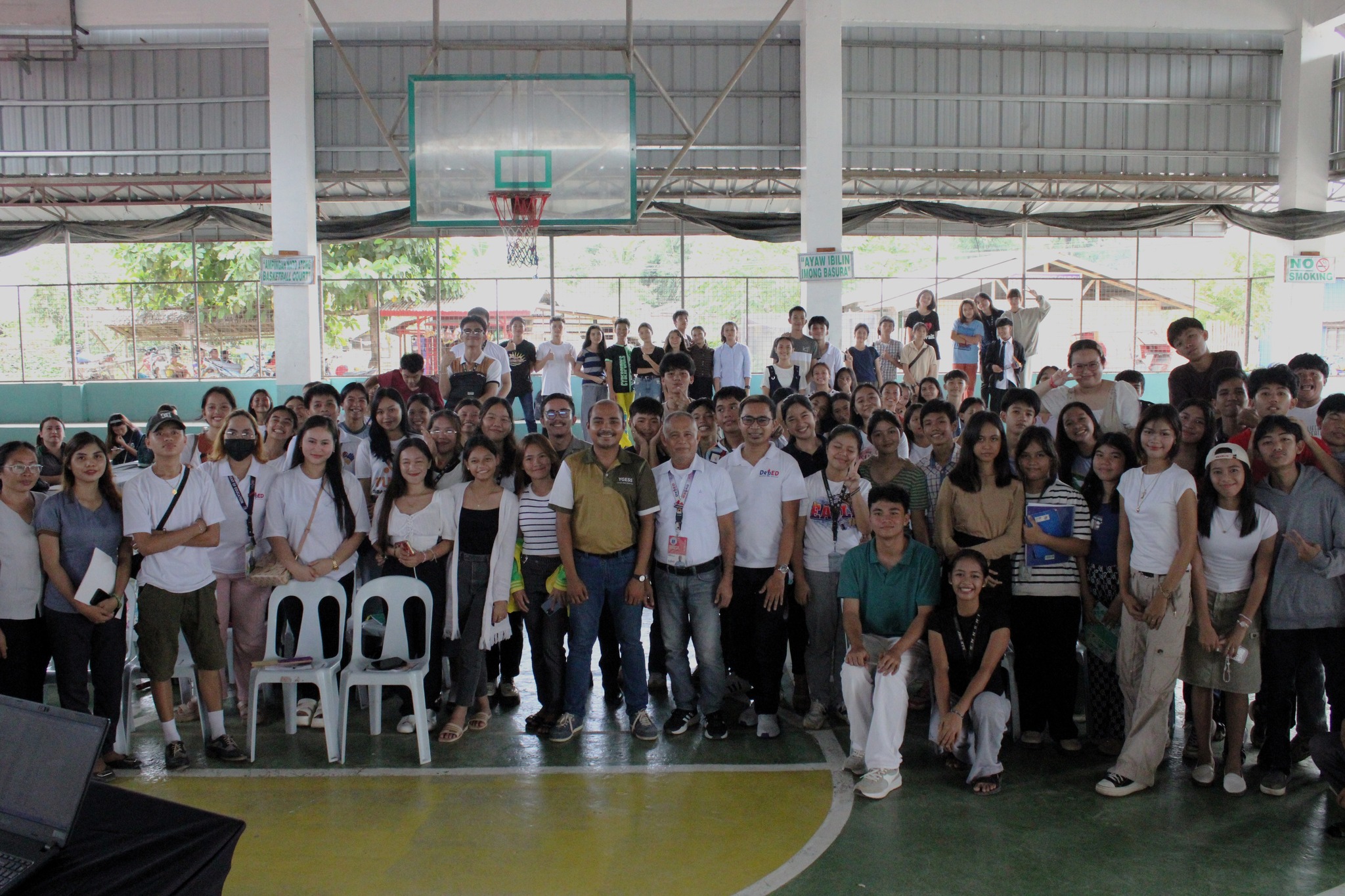
In celebration of the National Science and Mathematics Club Month, a one-day symposium was held on September 25, 2024, hosted by the Sibagat National High School of Home Industries, featuring an engaging session on "Basics of Drones and Photogrammetry and Its Applications." Engr. Arnaldo C. Gagula, the Center Chief of Caraga Center for Geo-informatics (CCGeo), led the lecture, attended by eager Grade 9, 10, 11, and 12 students with a passion for Science and Mathematics.

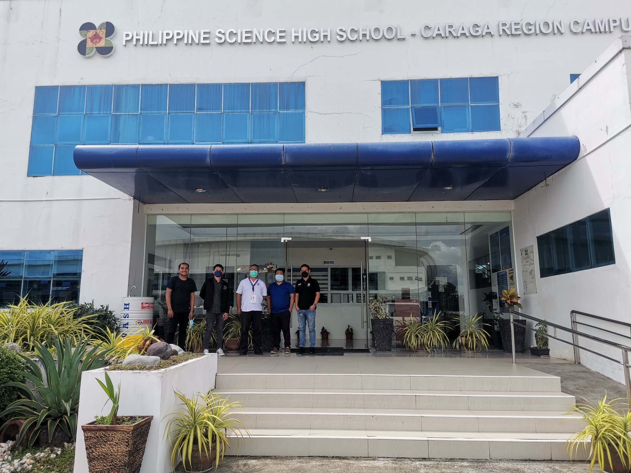
Conducted a drone mapping activity to generate a highly detailed, composite aerial image of the Philippine Science High School - Caraga Region Campus (PSHS-CRC), upon the request of the school administration. It aims to capture the whole of the campus to enhance campus management and security.
The mapping team led by CCGeo researchers and CSU - Department of Geodetic Engineering faculty members Arnaldo Gagula and Jun Love Enclona Gesta used a Phantom 4 Real Time Kinematic (RTK) Unoccuppied Aerial System (UAS) to capture both vertical and oblique aerial images at a flying height of 80 meters above ground. The images were then processed in Agisoft Metashape to generate an orthorectified mosaic or composite of the images, which can be considered as equivalent to a map as it already accurately georeferenced, and corrected for geometric errors such as relief displacement. It has a very fine detail, up to the centimeter level.

Faculty researchers from the Caraga Center for Geo-informatics (CCGeo) conducted fieldwork in Sitio Manoligao, Cagdianao, Province of Dinagat Islands. This work is part of our project titled "Hydrological Study of Watersheds Identified in Dinagat Island Conservation Program."
This project is funded by KAISAHAN tungo sa Kaunlaran ng Kanayunan at Repormang Pansakahan (KAISAHAN) in collaboration with Balaod Mindanaw (BALAOD), Philippine Association for Intercultural Development Inc. (PAFID), Rainforest Trust (RFT), and Dinagat Islands’ Local Government Units (LGUs) under the program “Conserve Dinagat: Communities for Conservation.” The goal of the project is to promote the conservation of Mount Kambinliw and Redondo KBA, and to declare critical watersheds as local conservation areas (LCA) and community conservation areas (LCCA) in Dinagat Islands.